
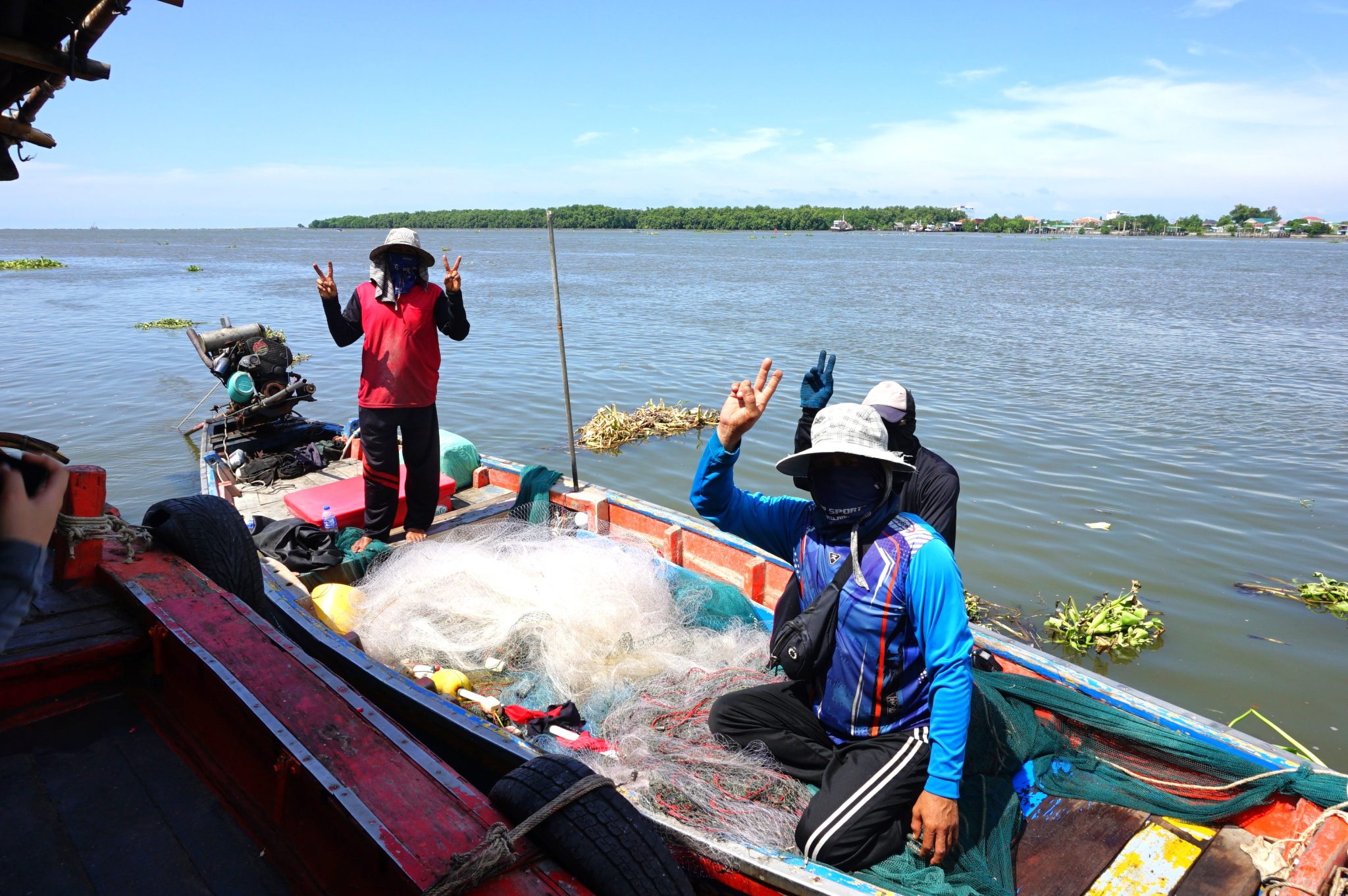
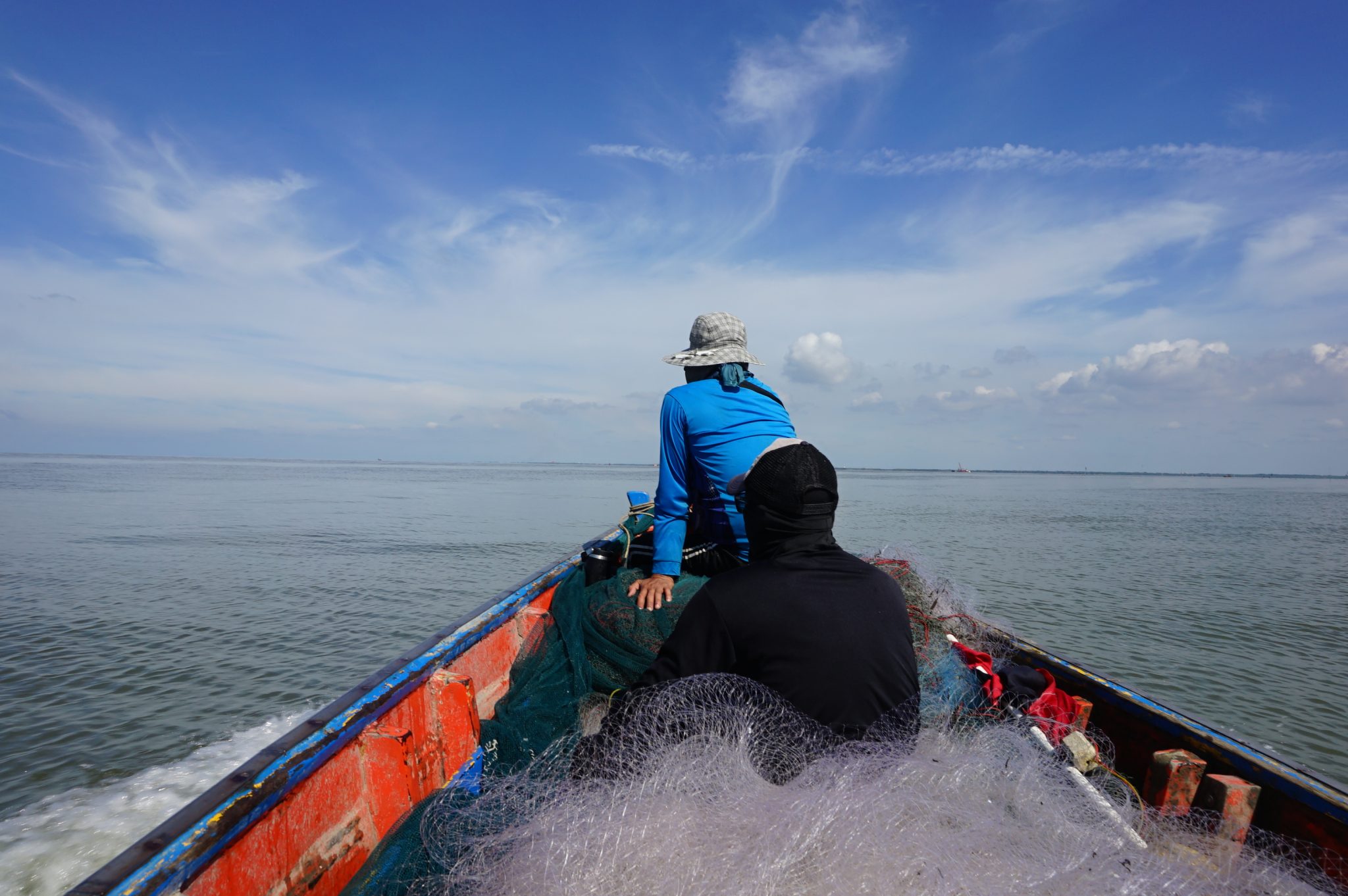
"Every time a boat sets sail, fuel costs are incurred immediately, yet the catch depends on uncertain factors." This is a major challenge faced by local fishermen. With increasingly volatile weather and sea conditions today, predicting seasons and fish resources has become more difficult, making fishing even more challenging. Some families have even decided to abandon this profession. Meanwhile, small-scale fishermen face limitations in accessing high-cost detection tools such as sonar, so they must rely on personal experience to assess sea conditions, read currents and wind, and locate fish resources.
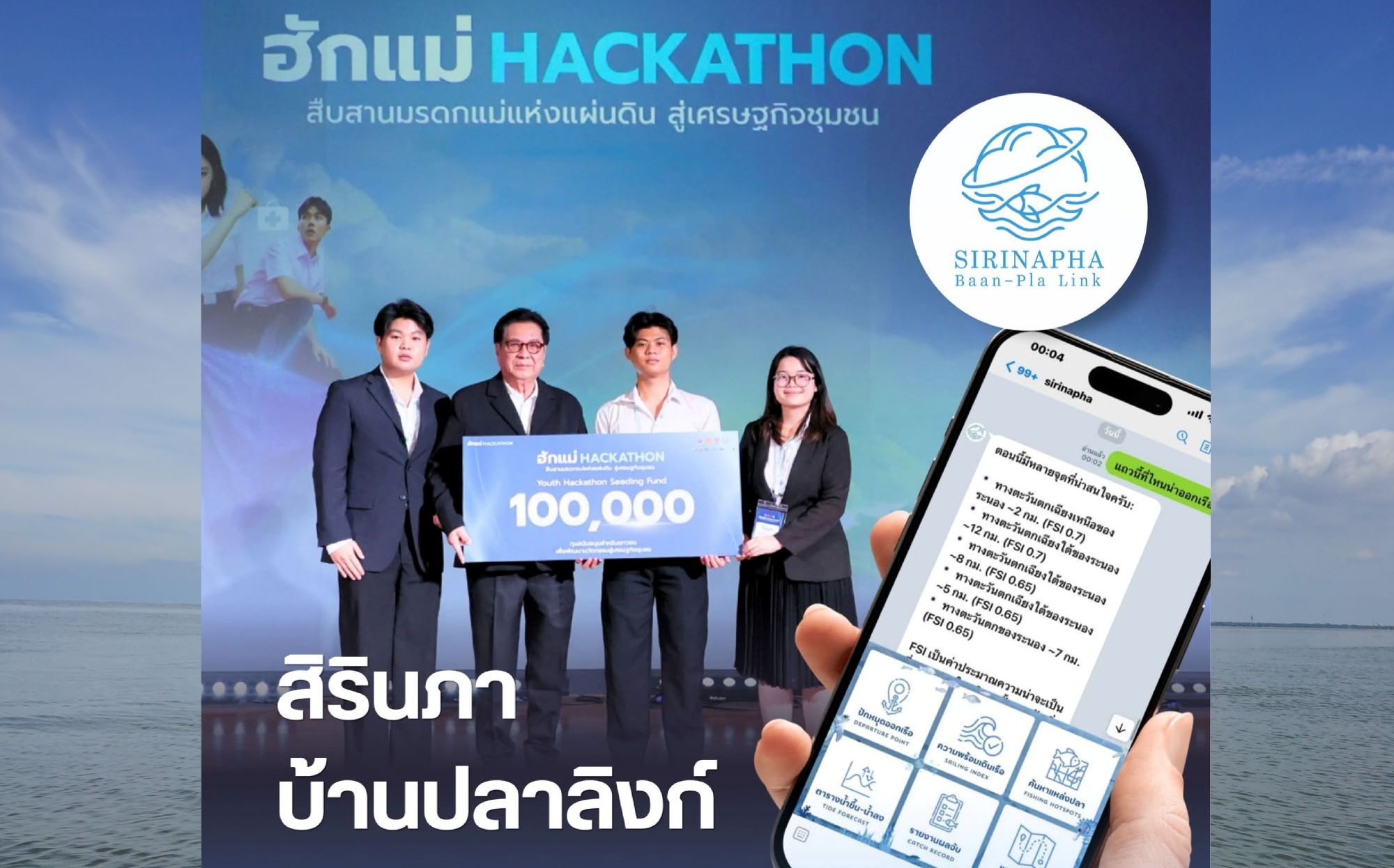
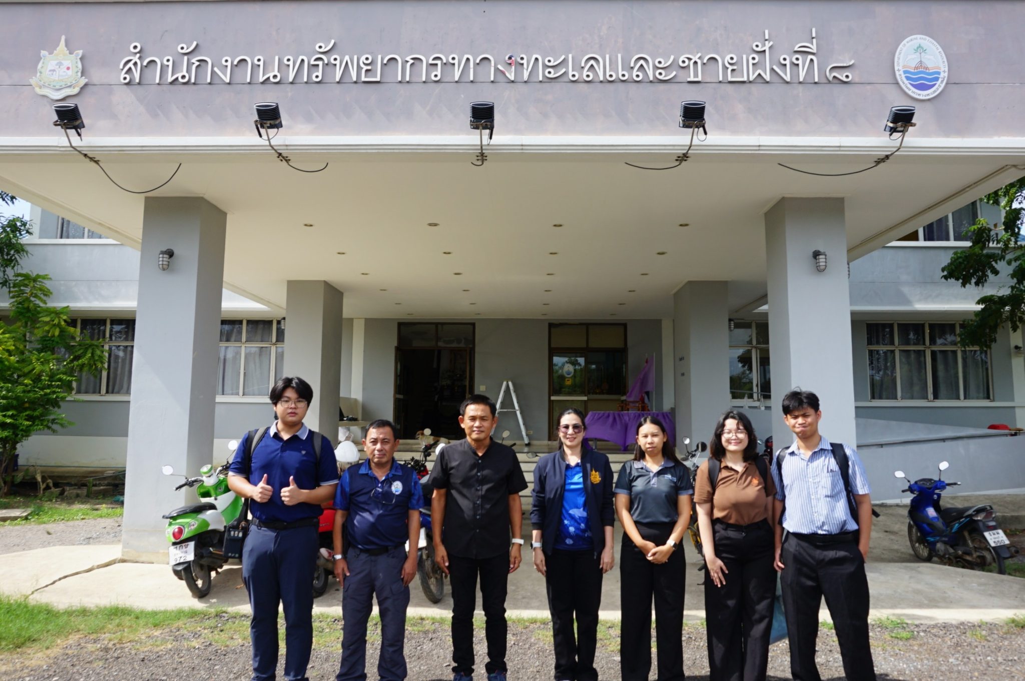
This problem became the starting point for "SIRINAPHA: Baan-Pla Link (House-Fish Link)", a satellite and AI data platform serving as an intelligent assistant for local fishermen, developed by the "Team for Mother Who Cannot Lose" (Team Pae Mae Pai Bode), consisting of students from the Faculty of Engineering, King Mongkut's University of Technology Thonburi (KMUTT), namely, Mr. Theerathep Yaikao (Kiaokood), from the Department of Control and Instrumentation Engineering, Mr. Wasitpol Praemot (Ninja), andMs. Yalika Saeammuang (Pearl), from the Department of Chemical Engineering, with Dr. Jiravit Pratvittaya, a lecturer in the Department of Control and Instrumentation Engineering, and Dr. Sanat Wongtawiwong, former manager of the TedFund, serving as advisors.
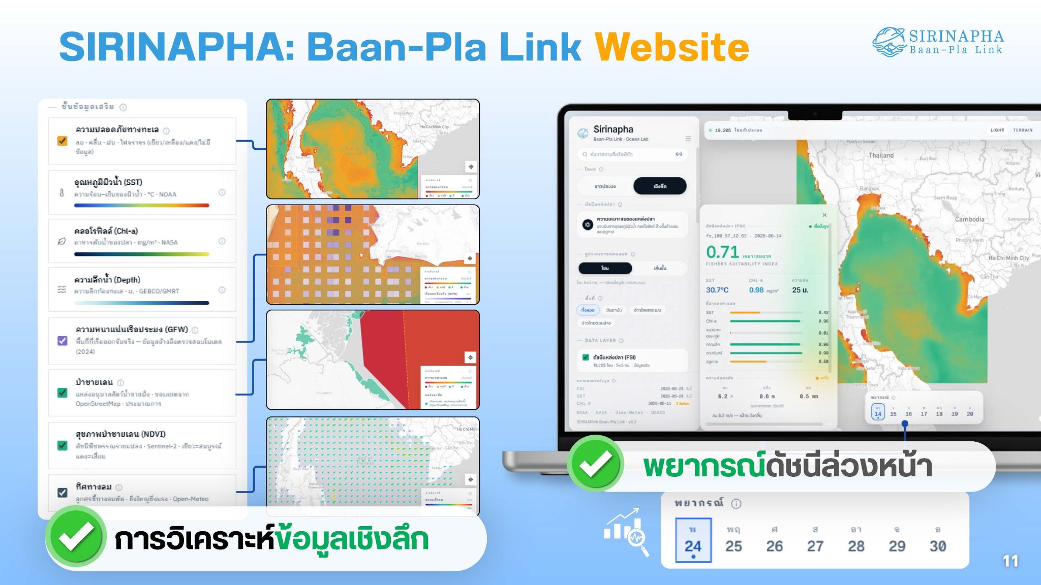
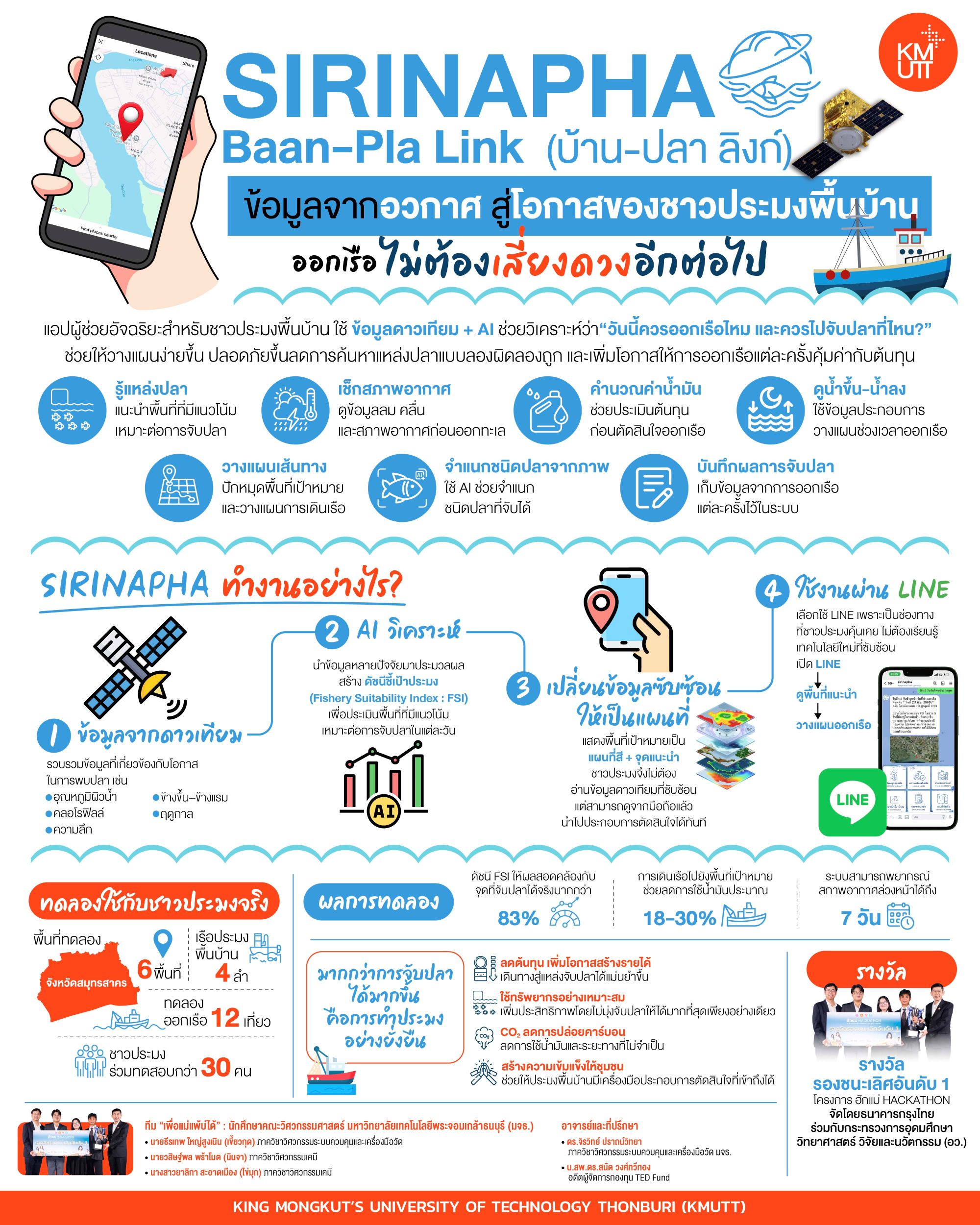
The team utilized satellite imagery data and artificial intelligence (AI) technology to process and determine the Fishery Suitability Index (FSI),Fishery Suitability Index: FSI) to assess areas likely suitable for fishing based on various factors such as sea surface temperature, chlorophyll, depth, lunar phases, and seasons, before converting complex data into color maps and recommended points that fishermen can easily understand and use for pre-departure planning.
Kiaokood, as the system administrator for satellite and AI data, stated that the challenge in this work was not merely managing large volumes of satellite data, but ensuring that data from space reaches small-scale fishermen and can be practically used. "Satellite data is powerful, but it holds no meaning if small-scale fishermen cannot utilize it effectively. Our role is to translate images from space into simple answers: Is it worthwhile to set sail today, and where should we go? We strive to transform scientific data into tools that help fishermen make decisions more easily, reduce trial-and-error fishing, and increase the likelihood that each voyage is worthwhile relative to the costs incurred."
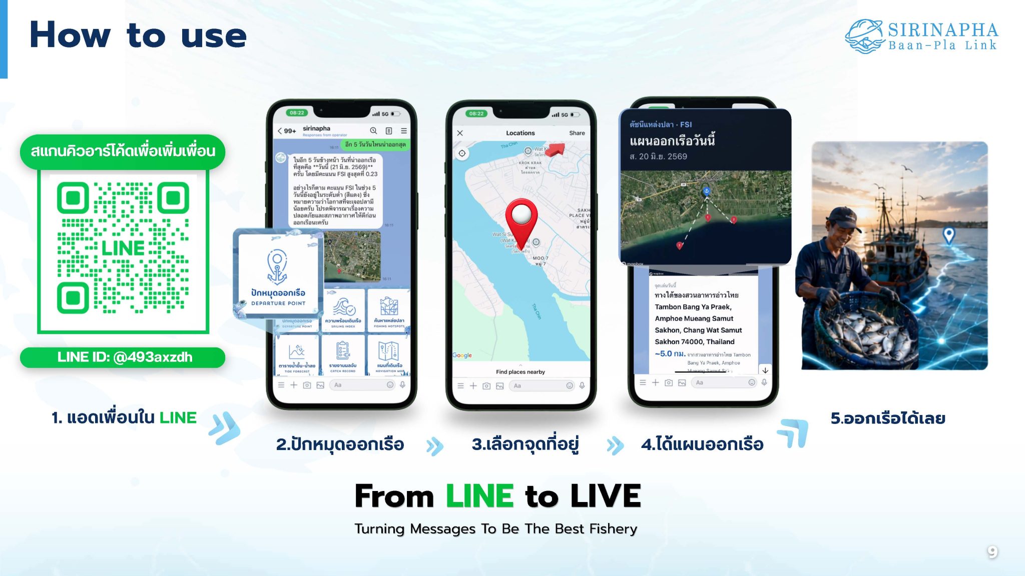
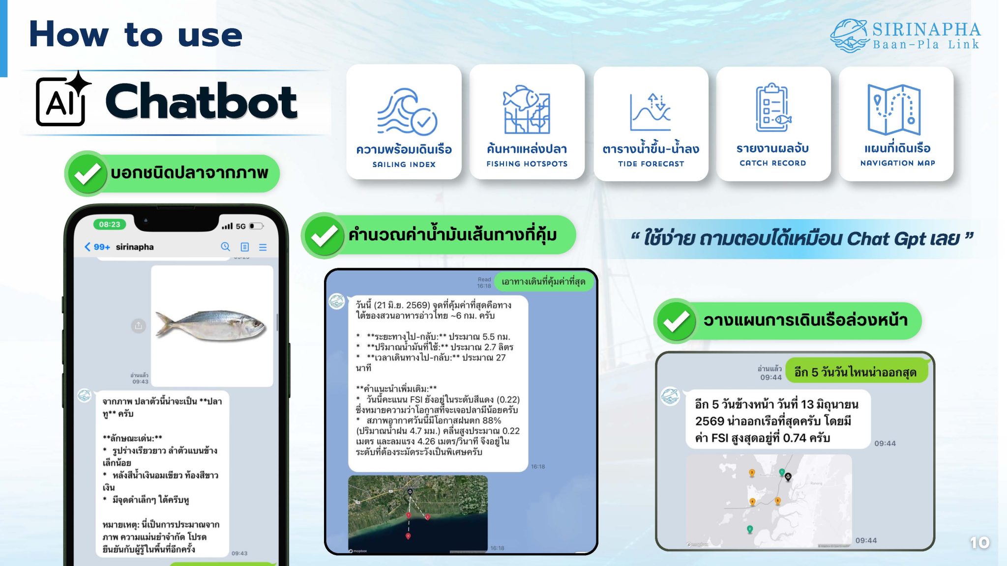
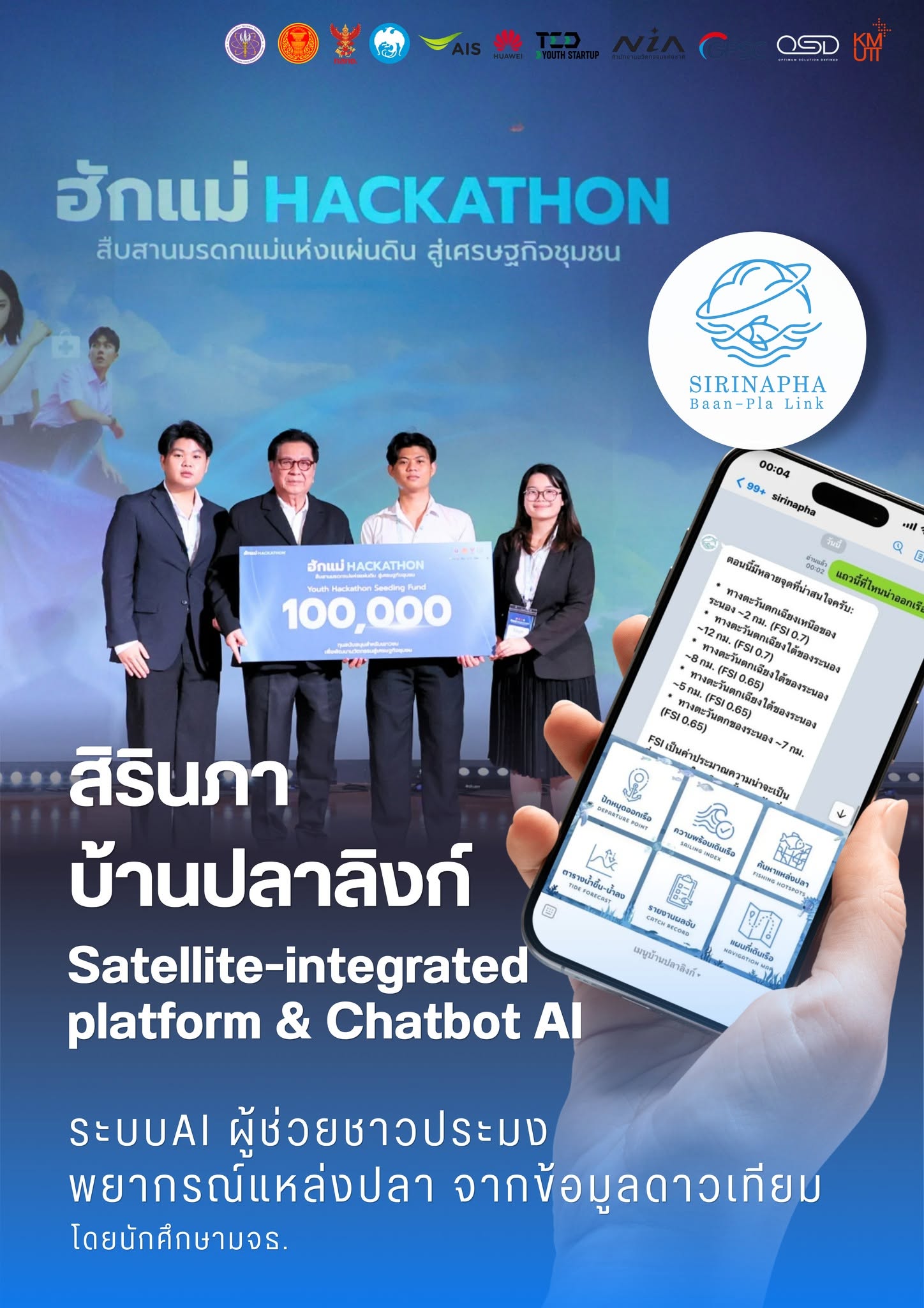
Another key objective of SIRINAPHA is how to make the technology easy to use and compatible with the daily lives of fishermen. The team therefore conducted field visits to talk with, observe work practices, and go out to sea with fishermen before choosing to develop the service on LINE, a channel familiar to fishermen. Every morning before departure, the system sends target area coordinates along with risk data regarding wind, waves, and weather conditions to assist in pre-departure planning. Additionally, the platform allows users to pin locations, plan routes, monitor tides, calculate fuel costs, record fishing results, and identify fish species from images all in one place.
"We designed this based on over 40 days of immersion with fishermen, sitting and talking with them at the port and going out to sea with them in reality, to understand their thinking and tool usage methods. We did not develop this in isolation within a laboratory because our goal is for the uncles to simply pick up their mobile phones and use the platform immediately." Ninja, responsible for Product Design and Field Work, stated.
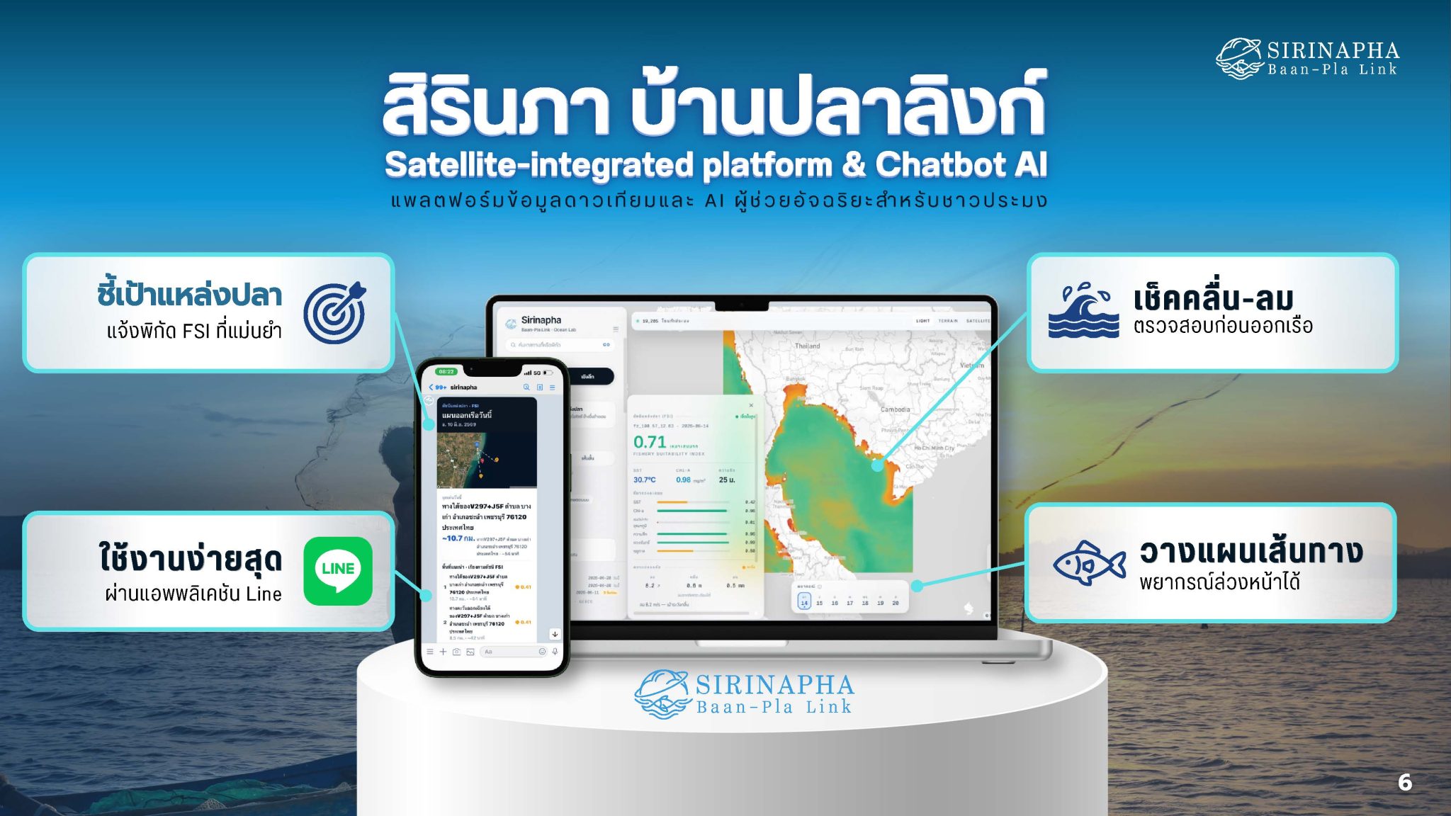
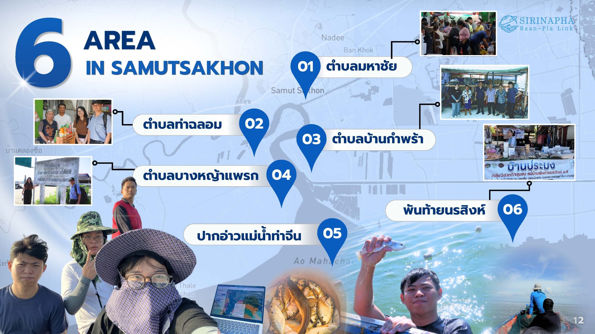
To test the system's actual usability, the team conducted trials in six areas of Samut Sakhon Province, including Maha Chai Subdistrict, Tha Chalom Subdistrict, Ban Kampra Subdistrict, Bang Ya Phraek Subdistrict, Phan Tai Narsin Subdistrict, and the mouth of the Tha Chin River. The pilot program involved 30 fishermen and 12 local fishing boats. Results showed that 10 boats, representing 83% of the total 12, achieved an increase in catch volume compared to the baseline statistics prior to using the system. Meanwhile, navigating to target areas reduced fuel consumption by approximately 18–30%. Importantly, the platform can forecast basic weather conditions up to 7 days in advance, facilitating better fishing planning for the fishermen. The team emphasized that AI AI does not replace the experience of fishermen but serves as an "assistant" that uses satellite data to supplement marine knowledge, helping to reduce uncertainty and support decision-making before setting sail.
On the other hand,Yalika Saeammuang, who oversees Project Finance & Sustainability, added that another goal of SIRINAPHA is to enable fishermen's income to grow alongside the care for the sea. Because effective fishing is not about catching the maximum amount of fish, but rather about reducing costs, minimizing unnecessary travel, and using resources appropriately. "We want fishermen to have stable income without having to trade it for excessive use of marine resources. SIRINAPHA therefore aims to reduce costs, strengthen the community economy, and reduce carbon emissions. Starting with proof of concept in Samut Sakhon Province before expanding to a regional fishing data network that other communities in the region can utilize jointly."
Dr. Jiravit Pratvittaya, the advisor, stated that working in the actual field is an important classroom for students, as success lies not only in making the platform functional but also in ensuring that fishermen understand and can use it effectively. "Students will learn that what is in books may not match reality. Going into the field, observing problems, and listening to users is an experience that cannot be gained in a classroom and is what will make innovations truly answer people's needs.”
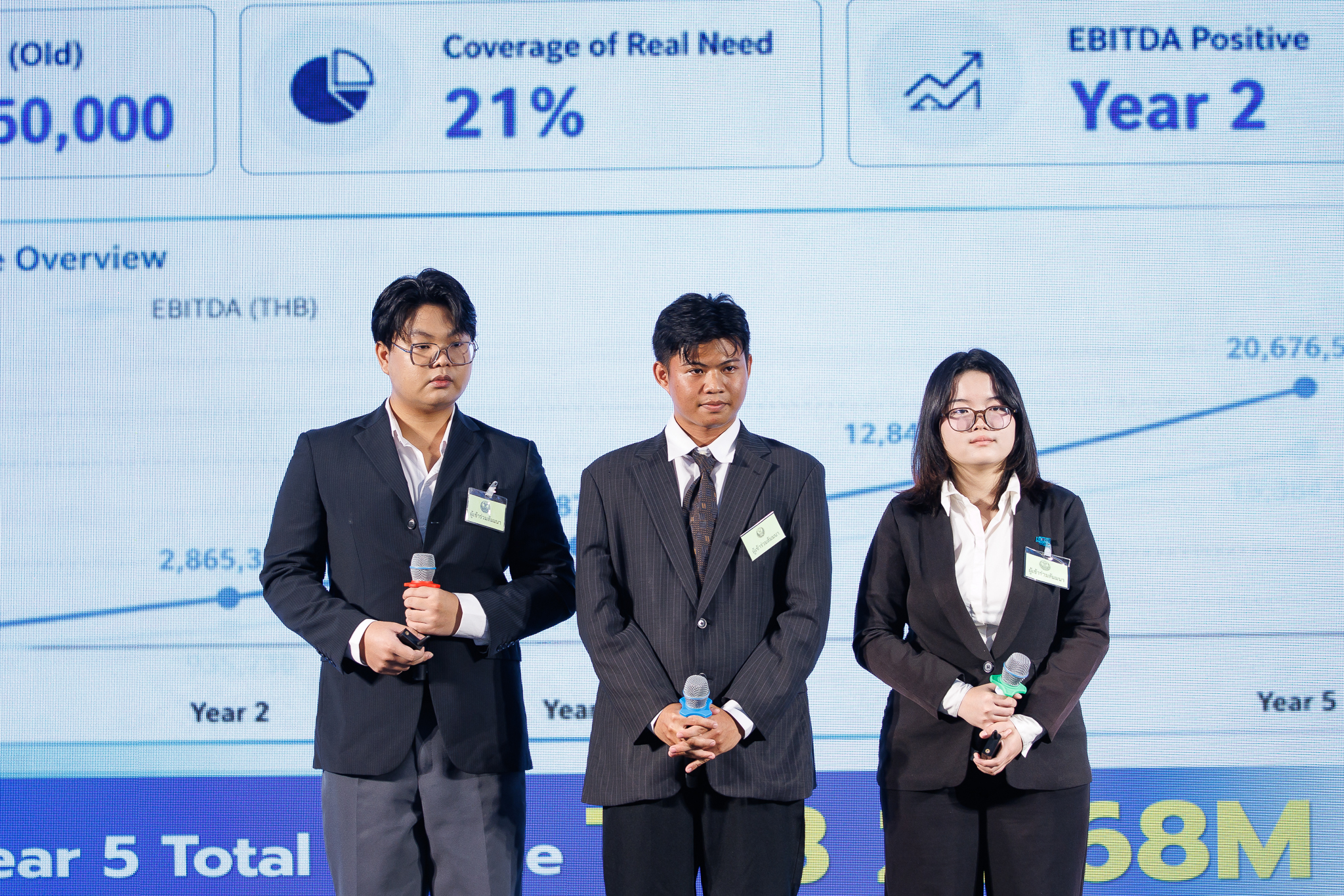
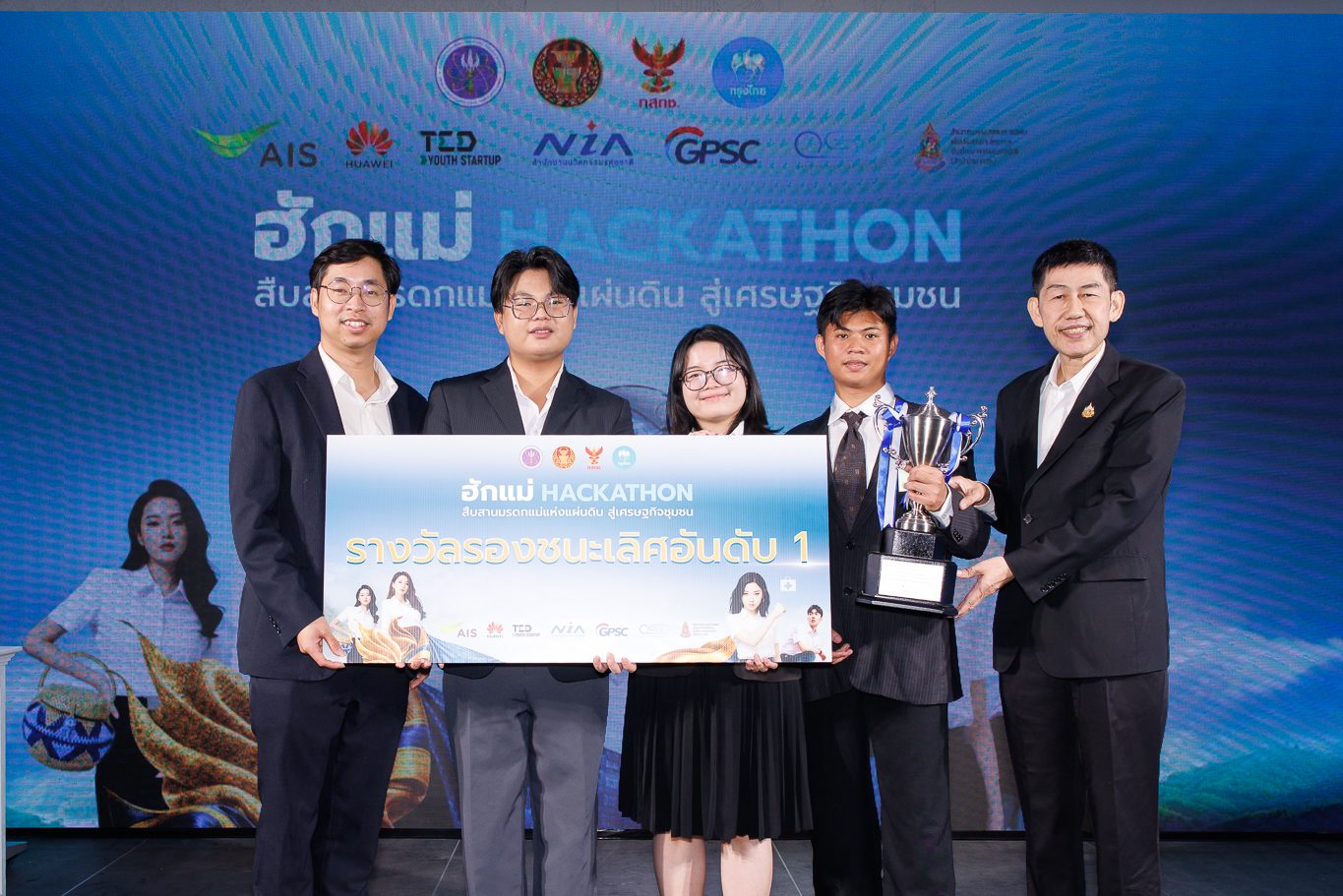
After the project won the 1st Runner-up Award from the Hak Mae HACKATHON project, organized by Krung Thai Bank in collaboration with the Ministry of Higher Education, Science, Research and Innovation (MHESI) and receiving a development grant of 100,000 baht, the team set a goal to expand the system to cover coastal areas nationwide to provide opportunities for local fishermen in other areas to use it. However, development is still in the phase of proving the efficiency of satellite and AI data, so trials must be conducted in diverse areas, seasons, and sea conditions, while relying on cooperation from experts, technology agencies, the business sector, and fishing communities to make the system more responsive to actual usage needs. Currently, more than 100 households of small-scale fishermen in Samut Sakhon communities have joined the pilot program for "SIRINAPHA: Baan-Pla Link" and have received positive feedback, enabling them to catch more fish.
Although the SIRINAPHA platform cannot eliminate all risks from weather conditions and the uncertainty of the sea, it providesadditional information to support decision-making. By combining space data and AI technology with the experience and wisdom of coastal people, it has become another tool to help plan sailing systematically, reduce unnecessary travel, manage fuel costs, and increase income opportunities, allowing local fishermen to sustain their livelihoods and adapt better amidst rapidly changing economic and environmental conditions today.
Related News

"Not Focusing on Quantity but on Efficiency": KMUTT Unveils a 3-Tier Tree Planting Formula to Trap Up to 40.5% of PM2.5, Using AI to Forge a "Green Shield" to Protect Bangkok Residents
Pathfinder UGV: Pioneering Robot for FIBO KMUTT – Frontier Innovation and New Hope for Protecting Thai Soldiers' Lives and National Security