

The sight of large sinkholes in the heart of Bangkok remains a startling memory for many, raising a critical question: are these isolated accidents or warning signs of deeper structural issues beneath the city’s surface? The answer is being revealed through scientific collaboration between the Department of Civil Engineering at King Mongkut’s University of Technology Thonburi (KMUTT) and Ehime University, Japan. This partnership has led to the publication of “Thailand’s First Underground Cavity Survey Standard,” aiming to shift from “Reactive Maintenance” to “Predictive Maintenance” driven by technological data.
Understanding the “Pulse” of Sinkholes
Amidst public concern, Professor Dr. Warat Kongkitkul from the Department of Civil Engineering at KMUTT, head of the Thai-Japanese research team, offered a perspective to alleviate fear: underground cavities are a preventable occurrence. These cavities typically result from the deterioration of underground infrastructure, such as cracked or leaking drainage and water pipes, particularly at aging joints.
In Bangkok, this mechanism is intensified by soft clay soil, which is highly sensitive to seasonal changes in groundwater levels. The circulation of groundwater, especially in sand-filled areas surrounding pipes, easily washes away soil particles during floods or droughts. Simultaneously, traffic vibrations—especially from heavy trucks—damage joints between pipes and manholes, creating leaks. Groundwater then carries sand and soft soil into the pipes, causing cavities to form and eventually expand into sinkholes. If these cavities can be detected early, repairs can be made before catastrophic failure occurs.
GMS3: The “Eyes” Beneath the Surface
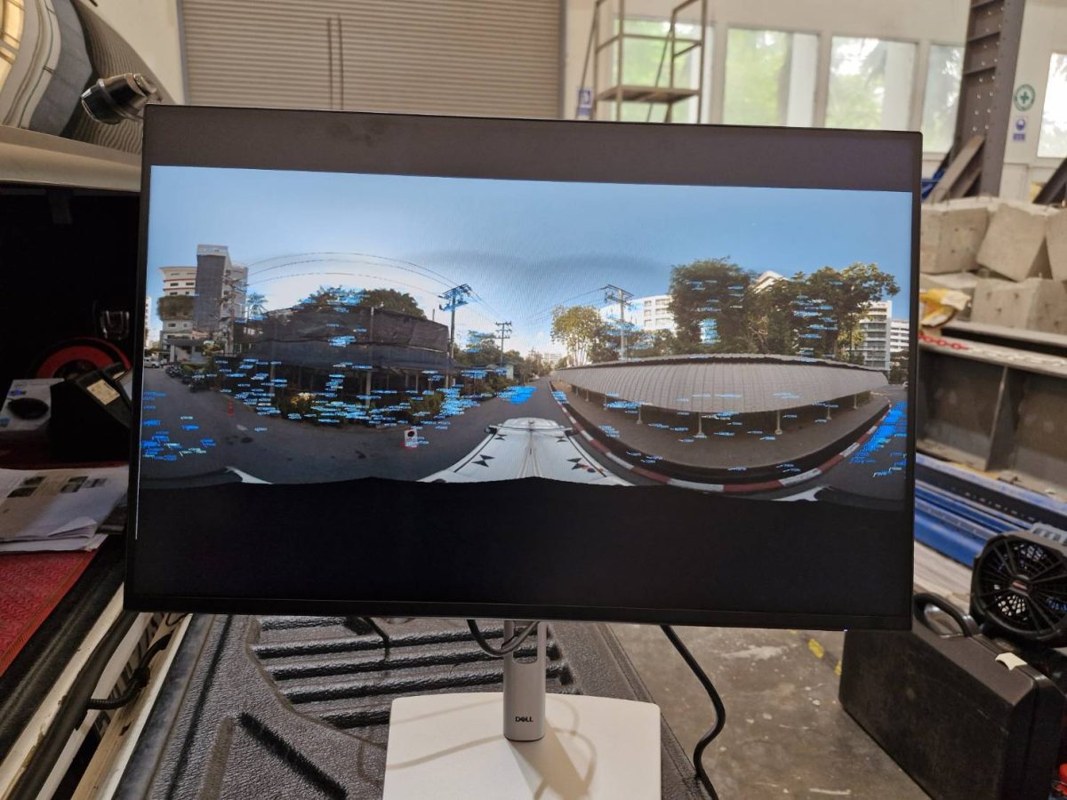
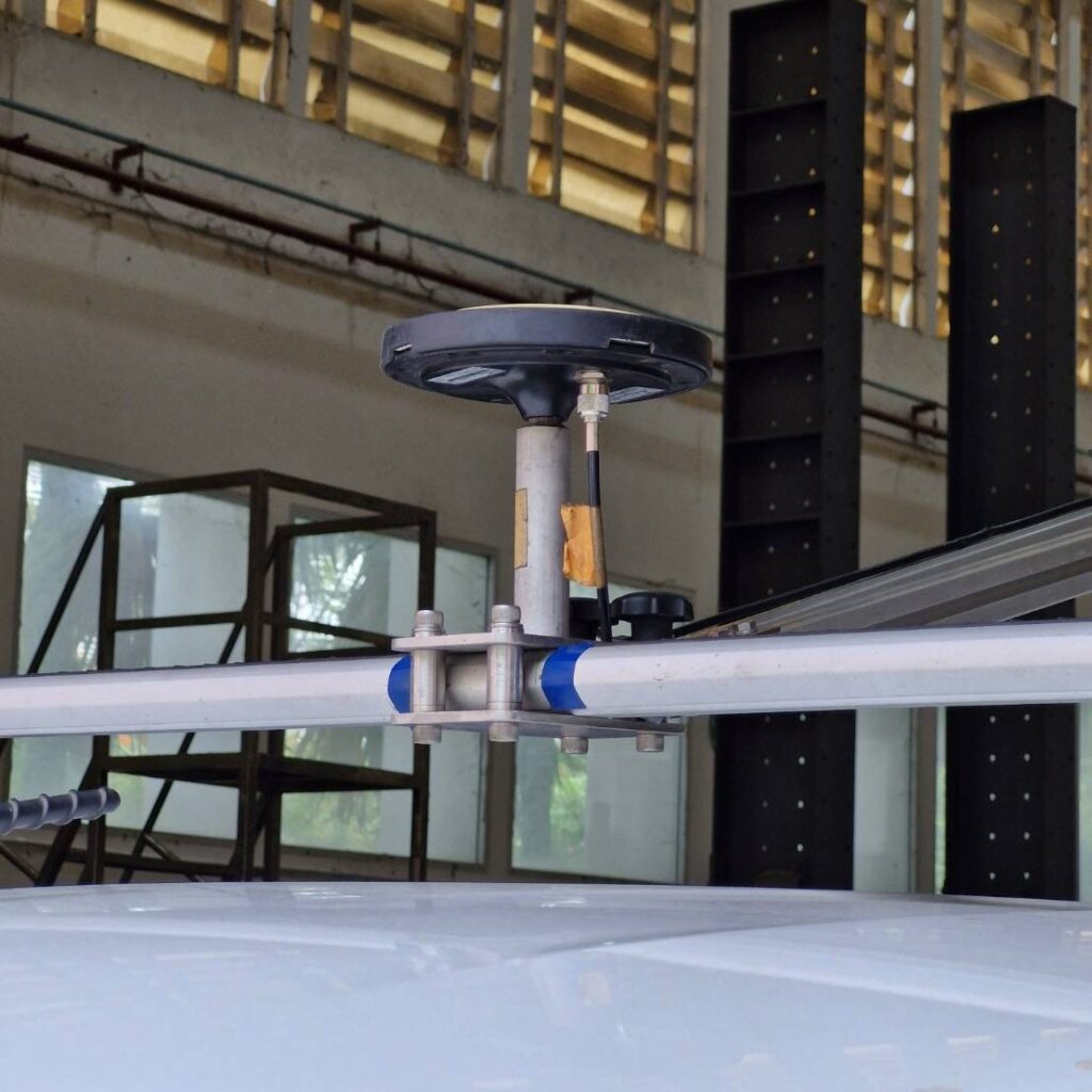
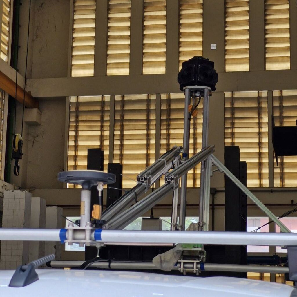
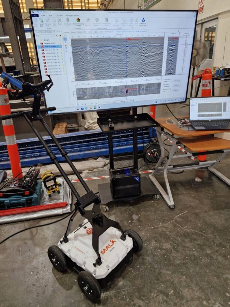
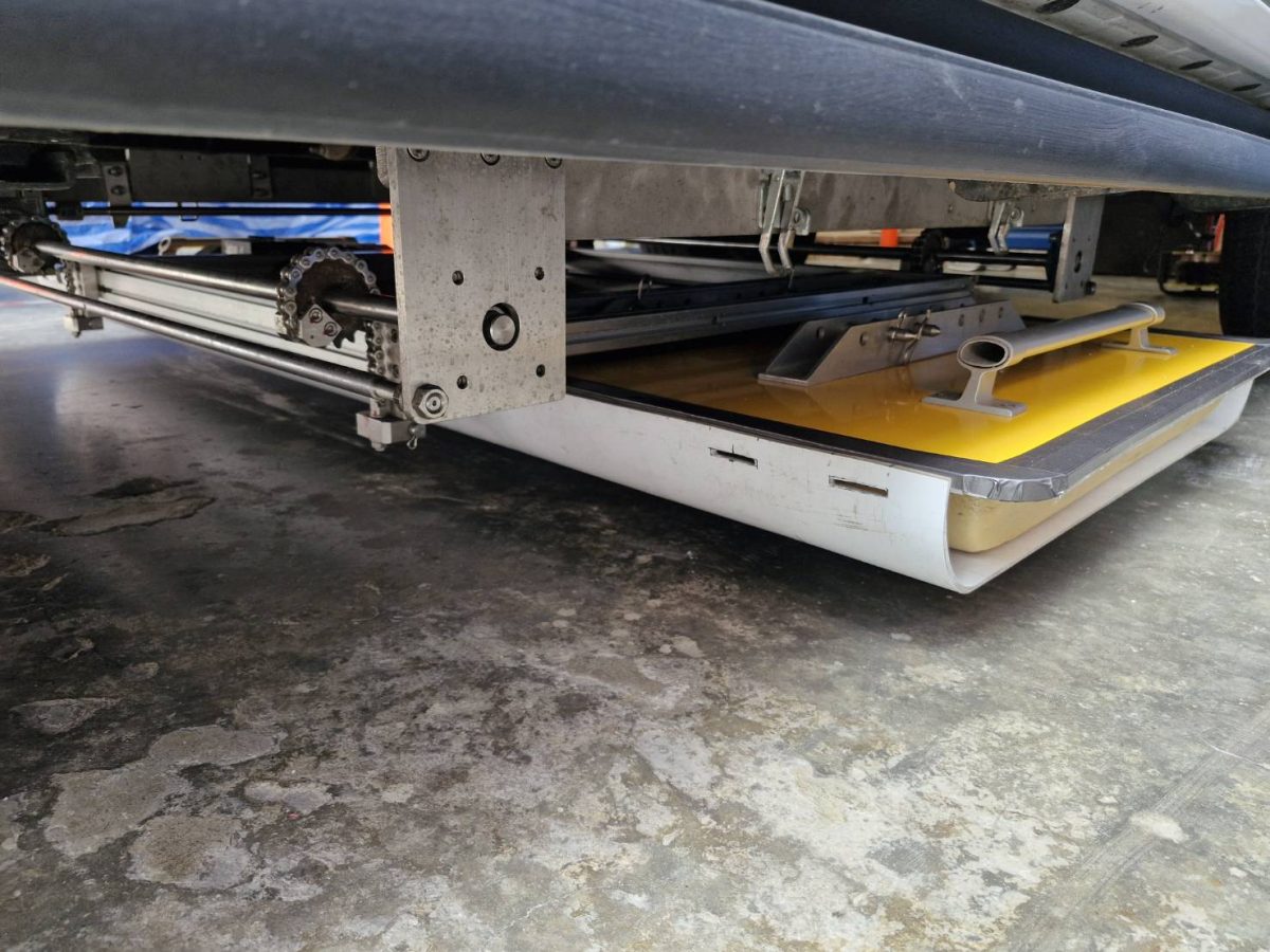
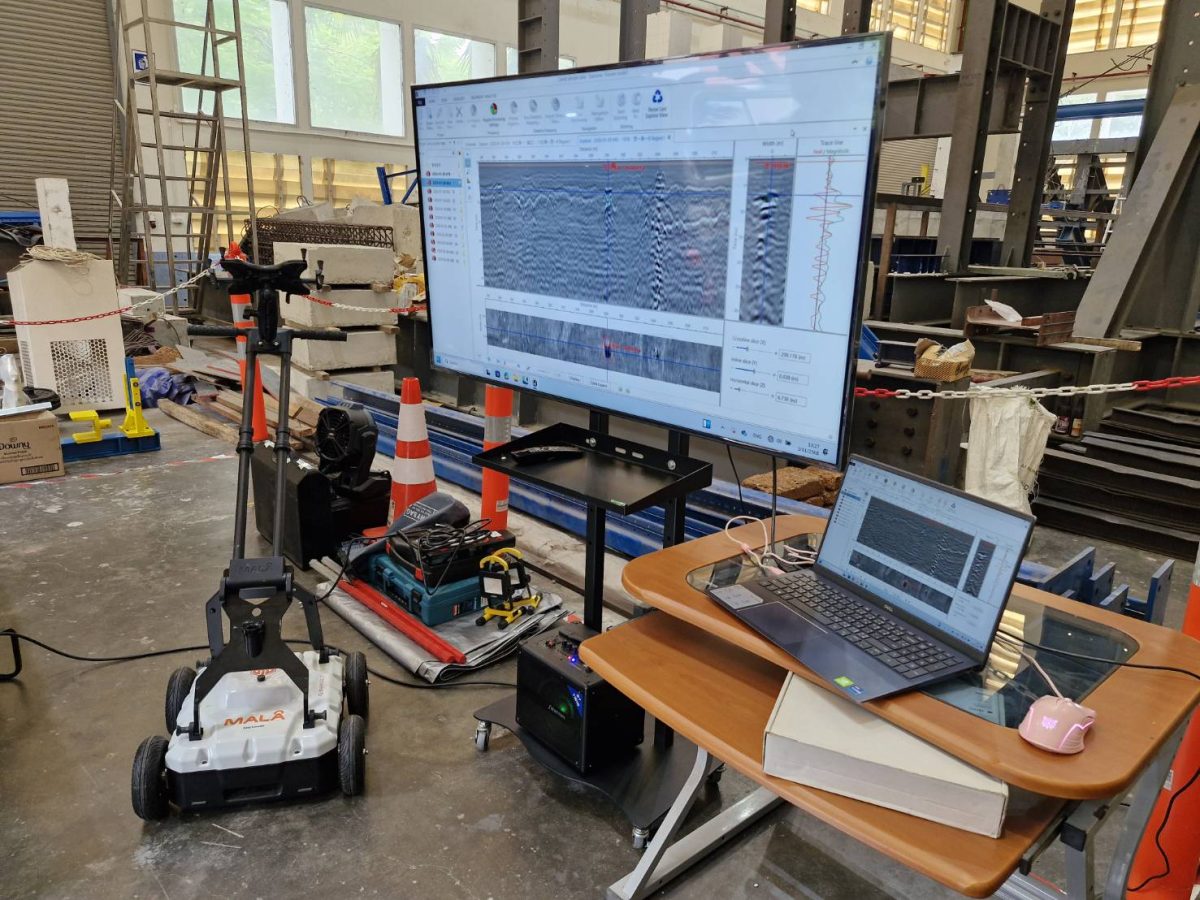
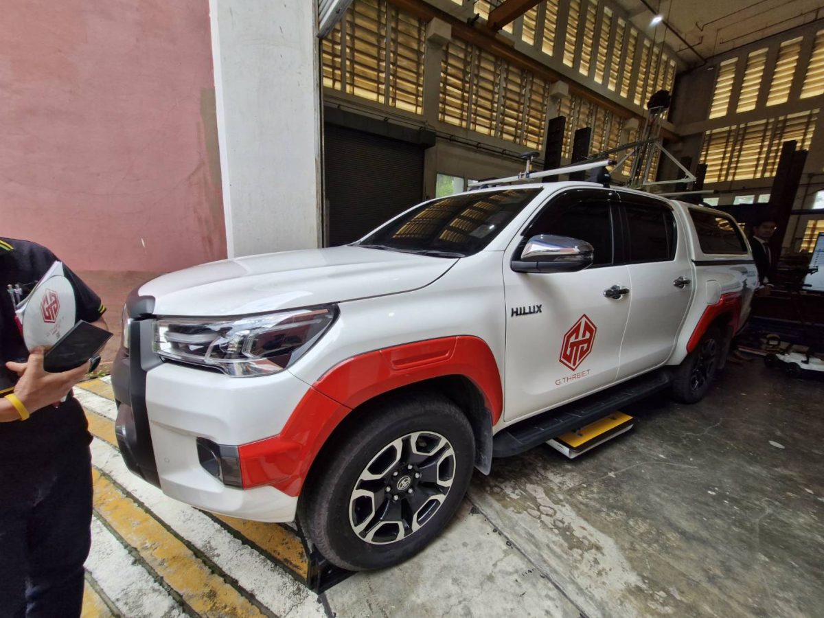
To tackle this, the team deployed GMS3 (GPR Mobile Mapping System 3D) technology from Japan, which acts as “eyes” capable of seeing through the ground quickly and effectively. Professor Jun Shinohara and Professor Mitsumasa Yamashina from Ehime University served as key experts in transferring this knowledge. GMS3 integrates Ground Penetrating Radar (GPR) with a Mobile Mapping System (MMS) using 360-degree imagery to precisely locate underground voids.
Professor Jun Shinohara explained that GMS3 is a breakthrough in road surveying because it can collect data at speeds up to 80 km/h, eliminating the need for road closures. It achieves centimeter-level accuracy using Camera Vector (CV) technology to correct GNSS satellite data, ensuring precise detection even in “signal-blind” areas like under expressways or between skyscrapers. A single pass of the GMS3 vehicle collects both surface conditions and underground structures simultaneously.
Developing a Risk Assessment for Thai Roads
A significant challenge was developing risk assessment criteria tailored to Thailand. While Japan and Thailand both use “Cavity Diameter (D)” and “Depth from Road Surface to Cavity Top (Hc)” as primary variables, the road structures differ. Japan primarily uses asphalt, whereas Thailand uses concrete. Therefore, KMUTT researchers developed a new criteria specifically for Thai concrete roads using laboratory tests and Finite Element Method (FEM) modeling.
Prof. Dr. Warat explained that risk depends heavily on depth. For instance, a 50 cm wide cavity located 80 cm deep is relatively low risk because the road layers help distribute the load. However, the same 50 cm cavity located only 20 cm deep is extremely high risk, as the remaining structural layer is too thin to support traffic, leading to immediate cracking and collapse.

A Milestone for National Infrastructure
Professor Mitsumasa Yamashina noted that surveys covering over 338 kilometers in Bangkok and its vicinity detected 313 suspected cavities—averaging one cavity per kilometer—a rate consistent with findings in Japan. The development of this first national standard is a major leap forward, allowing agencies like the Bangkok Metropolitan Administration (BMA), the Department of Highways, and the Department of Rural Roads to utilize a unified guideline for GPR surveys and risk assessment.
Prof. Dr. Warat compared underground cavity surveying to “health insurance” for roads—a proactive investment to prevent future disasters rather than waiting for a collapse. The next phase involves using GMS3 data to develop a nationwide “Underground Cavity Risk Map” to prioritize budget and repairs efficiently. This Thai-Japanese cooperation not only elevates technology but secures the nation’s infrastructure against the immeasurable costs of sinkhole damage.
Related News

‘Plant-Based Caviar’: KMUTT Students’ Food Innovation Clinches National Gold, Ready for Global Market Expansion

KMUTT Mechanical Engineering Students and Faculty Clinch Gold Medal from NRCT with Microchannel Heat Sink Innovation for Future Data Centers